Fisherman's Trail: Zambujeira to Odeceixe Guide | Rota Vicentina
Complete guide to hiking the Fisherman's Trail from Zambujeira do Mar to Odeceixe—Portugal's wildest Atlantic cliff walk. Trail details, difficulty, highlights, accommodation, and practical tips for this stunning 18.5km Rota Vicentina coastal trek.
By BeachLoco Editorial Team
🥾 Quick Stats: Zambujeira to Odeceixe
You round a cliff corner somewhere past Azenha do Mar, legs burning from soft sand that swallows each step, and the trail narrows to a ribbon between wildflowers and a 50-meter drop. There's no one else in sight. No guard rails. Nothing but the Atlantic crashing against sea stacks below and white storks circling overhead. This is the Fisherman's Trail.
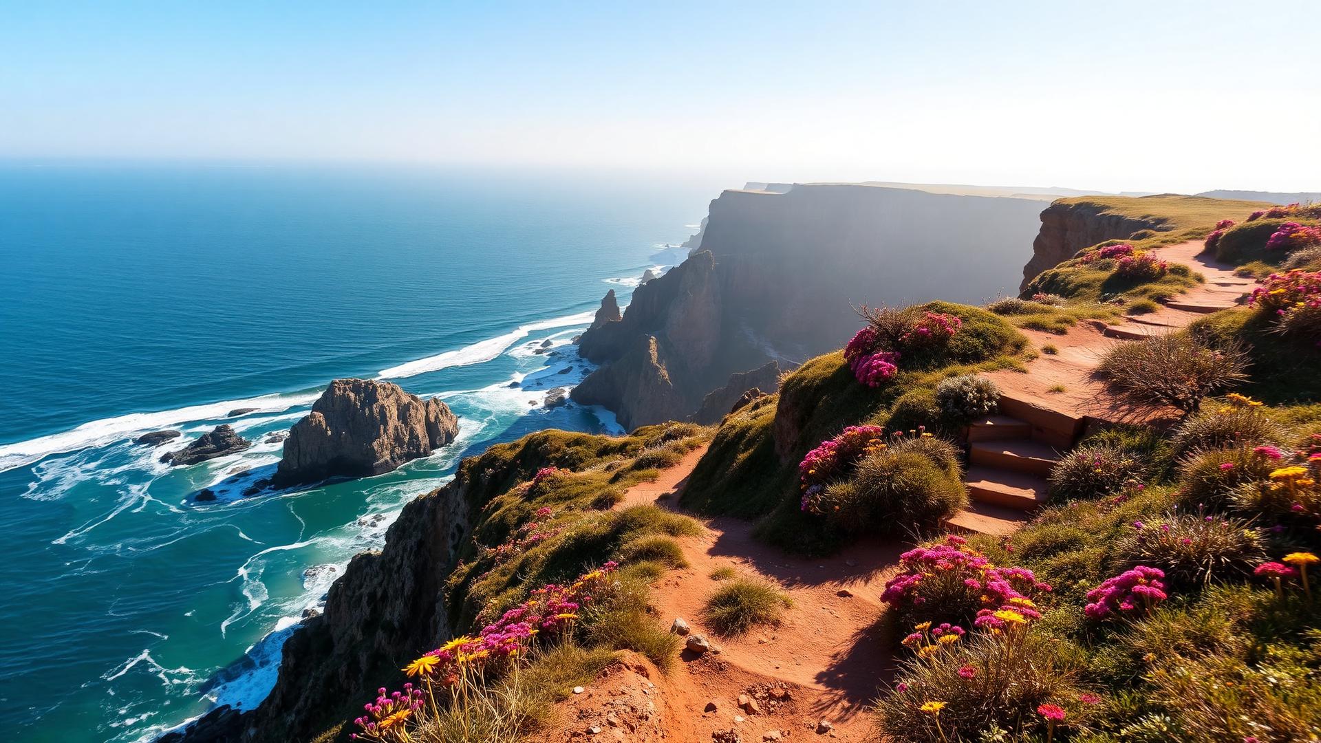
While the Algarve's polished coastline draws the crowds, Portugal's best-kept hiking secret unfolds further north along the Alentejo coast. The Fisherman's Trail (Trilho dos Pescadores) traces the wildest stretch of Atlantic cliff in Western Europe—and the section from Zambujeira do Mar to Odeceixe delivers the most dramatic 18.5 kilometers of the entire route.
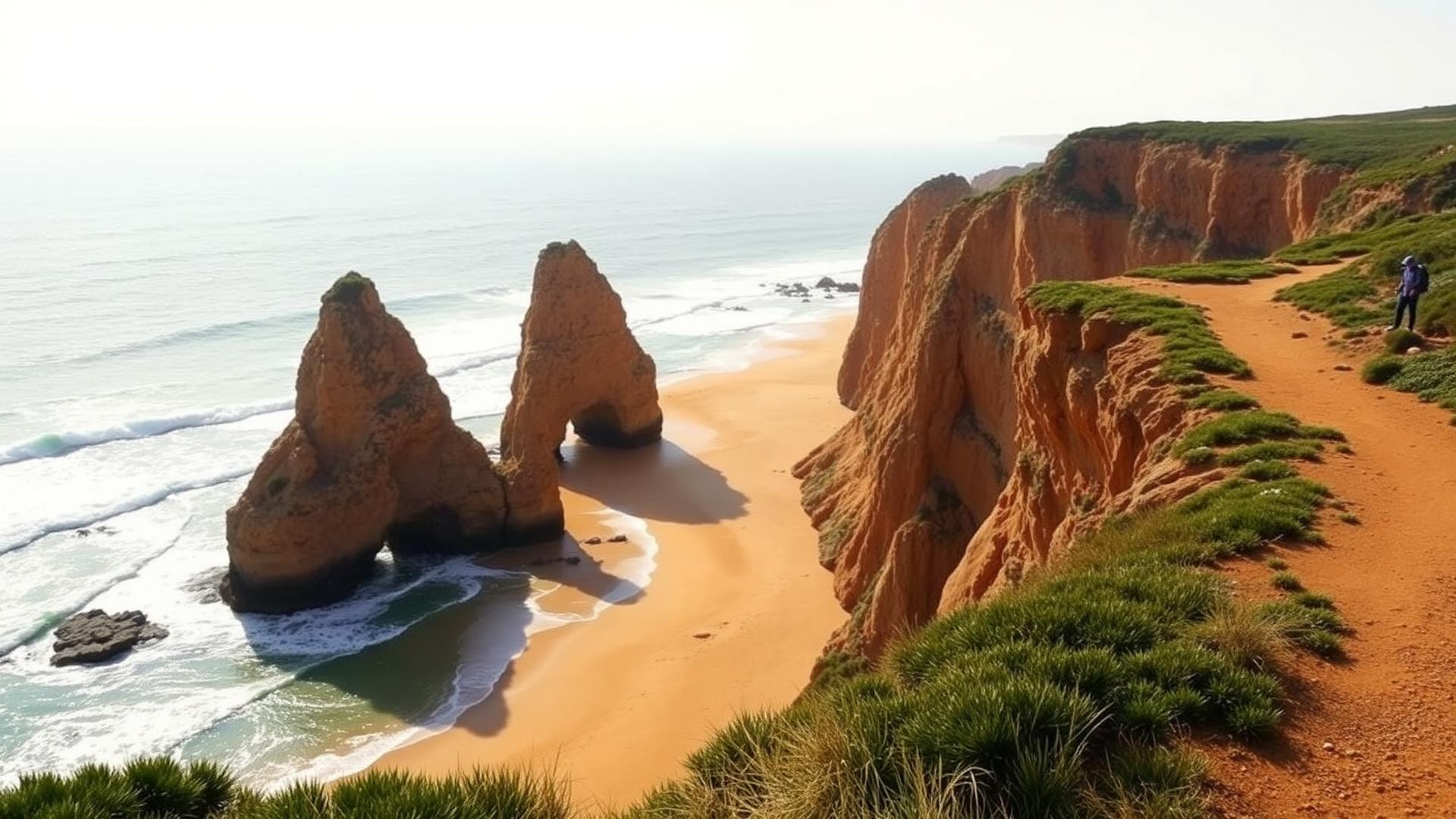
Why This Section Is Legendary
The Rota Vicentina spans 226 kilometers from Santiago do Cacém to Lagos, but hikers-in-the-know treat the Zambujeira-Odeceixe leg as the crown jewel. Here's why:
- Raw, undeveloped coastline: Protected by the Southwest Alentejo and Vicentina Coast Natural Park, this stretch has zero beachfront development
- The transition zone: You cross from Alentejo into Algarve—two distinct regions in one hike
- Azenha do Mar: A cliffside fishing hamlet where fishermen still haul boats with winches, frozen in time
- Ponta em Branco viewpoint: Perhaps the finest panorama on Portugal's entire coast
- Genuine challenge: Deep sand, no shade, and relentless terrain—this isn't a groomed tourist trail
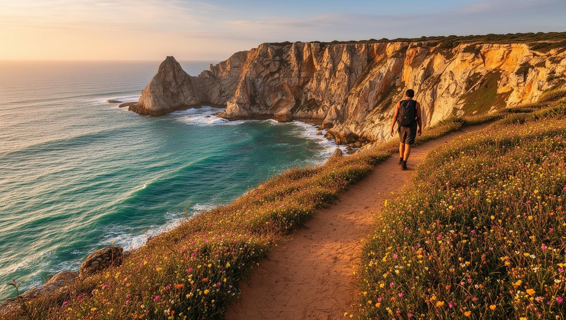
The Route: Kilometer by Kilometer
Unlike manicured trails with interpretive signs every 500 meters, the Fisherman's Trail demands navigation attention. Here's what unfolds as you head south from Zambujeira do Mar.
Km 0-3: Zambujeira to Azenha do Mar
Leave Zambujeira do Mar through clifftop meadows scattered with sea thrift and rockrose. The trail quickly delivers sweeping views—jagged black rocks, turquoise coves, and the kind of emptiness that makes you understand why this coast stayed wild. The descent to Azenha do Mar is steep; take your time on the sandy switchbacks.
Km 3-8: Azenha do Mar to Praia do Carvalhal
After the coffee stop at Azenha (more on that hamlet below), the trail climbs back to cliff level and enters the most remote section. You'll pass Praia da Carvalhal and Praia da Amália—both accessible only on foot. The sand underfoot deepens; each step becomes meditation against frustration. But the reward is absolute solitude and a coastline that looks unchanged since the Phoenicians sailed past.
Km 8-14: Carvalhal to Praia dos Machados
This is the wildest stretch. Rocky outcrops force detours inland through scrubland before returning to cliff edges. Watch for white storks nesting on sea stacks—the Vicentina coast hosts one of Europe's only colonies of cliff-nesting storks. Several hidden coves appear below, most unreachable without ropes. The trail undulates constantly, draining reserves.
Km 14-18.5: Machados to Odeceixe
The final push includes the payoff: Ponta em Branco ("White Point"), where the entire Seixe River estuary and Odeceixe beach spread below you in a perfect panorama. The descent into Odeceixe follows the river, transitioning from Atlantic drama to pastoral calm. Cold beer at the village square has never tasted better.
🎣 Azenha do Mar: The Trail's Hidden Gem
Halfway through the hike, you'll descend into a postcard that time forgot. Azenha do Mar is a natural harbor carved into the cliffs where fishermen still launch wooden boats using hand-cranked winches—a technique unchanged for centuries. A single seafood restaurant perches above the action, serving fresh fish and cold Sagres beer to hikers who've earned it.
- Lunch stop: Budget 30-45 minutes if eating; the grilled fish is exceptional
- Photo op: The wooden fishing platforms against crashing waves are iconic
- GPS coordinates: 37.4917°N, 8.8241°W
Ponta em Branco: The Money Shot
If one vista defines this section, it's Ponta em Branco. Around kilometer 15, the trail reaches a promontory where the Seixe River meets the Atlantic in an S-curve of golden sand. Odeceixe village sits nestled in the valley beyond, and the Algarve coastline stretches south toward Lagos. Late afternoon light paints the scene in amber; photographers camp here at sunset.
Practical Planning Tips
When to Go
Best months: September–November and March–May. Wildflowers explode in spring; autumn offers warm seas for post-hike swims. Summer (July-August) pushes 35°C with zero shade—not recommended. Winter is hikeable but trails can flood after storms.
What to Bring
- Water: Minimum 2.5 liters; 3+ in warm weather (no refill points)
- Footwear: Sturdy hiking boots, not trail runners—ankle support matters in deep sand
- Sun protection: Hat, sunscreen, sunglasses; there's no shade for 18km
- Food: Pack lunch unless timing Azenha do Mar restaurant (confirm it's open)
- Navigation: Download the GPX track—waymarks exist but aren't infallible
- Headlamp: Just in case; days are shorter than expected when you're moving slowly
Physical Demands
Be honest with yourself: this is hard. The deep sand sections are genuinely exhausting—imagine walking on a beach, but for hours. Unfit hikers have underestimated this trail and required assistance. Train beforehand if you haven't hiked in months. That said, the reward-to-effort ratio is exceptional.
Getting There & Logistics
Start Point: Zambujeira do Mar
- By bus: Rede Expressos operates Lisbon–Zambujeira (3.5 hours, ~€20); Lagos–Zambujeira via Aljezur (2 hours)
- By car: 3 hours from Lisbon, 2 hours from Faro; limited parking in the village
End Point: Odeceixe
- Bus connections: Odeceixe–Aljezur buses (~20 min); Aljezur connects to Lagos
- Return to Zambujeira: Taxi (~€30-40) or Rota Vicentina transfer services
One-Way Hiking Logistics
Most hikers walk one-way and use transport to return. Options include:
- Rota Vicentina transfer services: Pre-book through rotavicentina.com partners
- Local taxi: Arrange the night before; drivers are familiar with the route
- Luggage transfer: Operators move bags between villages for multi-day hikers
Accommodation at Each End
Zambujeira do Mar
- Budget: Hakuna Matata Hostel—backpacker vibe, trail info from fellow hikers
- Mid-range: Casa do Adro, Hotel Zambujeira
- Note: Wild camping is prohibited throughout the natural park
Odeceixe
- Boutique: Casas do Moinho—restored windmills overlooking the village
- Guesthouse: Horta do Rio, Casa da Vida
- Pro tip: Book ahead in peak hiking season (April-May, September-October)
Stay Along the Rota Vicentina
Find accommodation in Zambujeira do Mar for an early start
Search Zambujeira HotelsConnecting the Rota Vicentina
This section is Day 4 of the traditional Porto Covo to Odeceixe Fisherman's Trail route. From Odeceixe, you can continue south through increasingly spectacular coastal scenery:
- Odeceixe to Aljezur (Day 5): 19km past Arrifana surf beach and Monte Clérigo
- Alternative routing: The Historical Way (Caminho Histórico) runs inland for variety
- The full trail: 226km from Santiago do Cacém to Lagos takes 12-15 days
Extend Your Trip: Portugal Coastal Collection
Completed the Fisherman's Trail? Portugal's coastline has more to offer. Head south into the Algarve for completely different—but equally spectacular—experiences:
- Seven Hanging Valleys Trail: Algarve's famous clifftop walk past Benagil Cave—polished and dramatic
- Benagil Cave Tours: Kayak or boat into the cathedral-like sea cave you've seen on Instagram
- Ponta da Piedade Boat Tours: Explore Lagos's grottos and sea arches from the water
- Algarve Destination Hub: Complete guide to Portugal's southern coast
Safety Tips
- Cliff edges are unfenced: The natural park keeps it wild; stay on marked paths
- Weather changes quickly: Atlantic fog can roll in; bring a layer
- Limited cell service: Tell someone your plans and expected arrival time
- Swimming caution: Beaches on this coast have strong currents; assess before entering
- Emergency: Portugal emergency number is 112
Final Thoughts: Why the Fisherman's Trail Matters
In an age of overtourism, the Fisherman's Trail feels like a secret that shouldn't exist. Raw. Empty. Demanding. Beautiful beyond reason. The Zambujeira to Odeceixe section distills everything that makes coastal hiking addictive: the rhythm of boots on sand, the salt spray on wind, the private beaches you'll never see from a road.
It's not for everyone—the distance, the sand, and the sun filter out the unprepared. But for those who show up ready, this 18.5 kilometers becomes more than a hike. It becomes the walk you'll measure all others against.
Start in Zambujeira. End in Odeceixe. And discover why Portugal's Fisherman's Trail ranks among Europe's finest coastal walks.